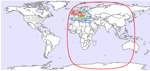
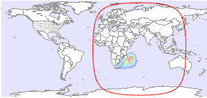
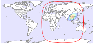
Below you will find available downlink footprint maps for Intelsat 39 at 62.0°E. Click on a map for more details. If you would like to have more technical information about TV and radio channels available on Intelsat 39, please click here.
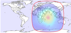
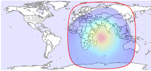
| Global L | Global R |
 |
 |
| C-band | C-band |
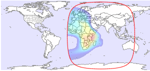
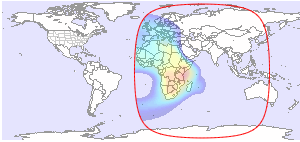
| West Hemi L | West Hemi R |
 |
 |
| C-band | C-band |
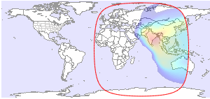
| East Hemi H | East Hemi V |
 |
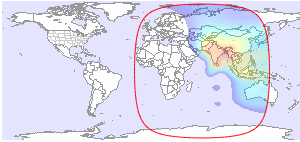 |
| C-band | C-band |
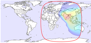
| East Hemi L | East Hemi R |
 |
 |
| C-band | C-band |
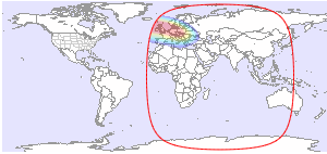
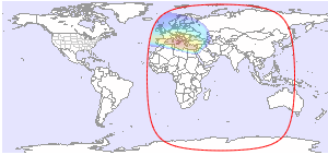
| Europe L | Europe R |
 |
 |
| C-band | C-band |
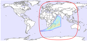
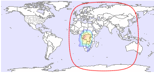
| Mozambique L | Mozambique R |
 |
 |
| C-band | C-band |
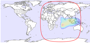
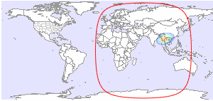
| Myanmar L | Myanmar R |
 |
 |
| C-band | C-band |
| Southeast Asia L | Southeast Asia R |
 |
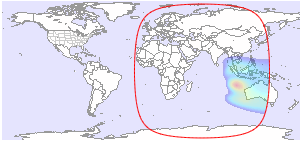 |
| C-band | C-band |
| Europe H | Europe V |
 |
 |
| Ku-band | Ku-band |
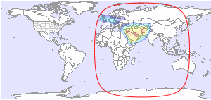
| Middle East H | Middle East V |
 |
 |
| Ku-band | Ku-band |
| West Indian Ocean H | East Indian Ocean H |
 |
 |
| Ku-band | Ku-band |
| DRC/Johannesburg H | DRC/Johannesburg V |
 |
 |
| Ku-band | Ku-band |
| Steerable Spot 3 V | |
 |
|
| Ku-band | |


and TV guide data from the internet
SatStar can provide detailed technical information about commercial geostationary satellites. It can be used by professionals, e.g. for budget link calculations, and can easily be integrated into custom applications.
All data can be stored in a database, including downlink and uplink coverage maps, frequency plans, transmissions, TV/radio channels etc. For more information, please refer to the Satellite Data page.
