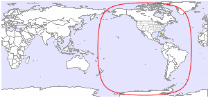
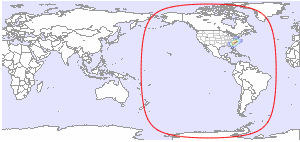
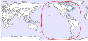
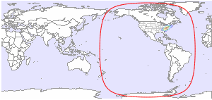
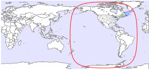
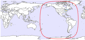
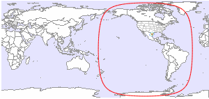
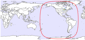
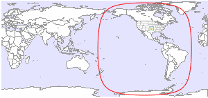
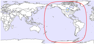
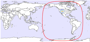
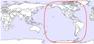
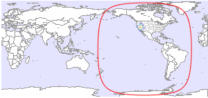
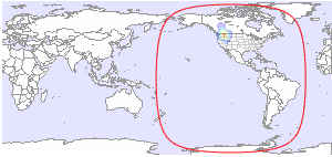
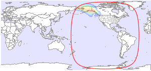
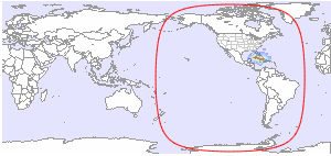
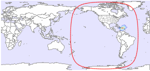
Below you will find available downlink footprint maps for EchoStar 10 at 110.0°W. Click on a map for more details. If you would like to have more technical information about TV and radio channels available on EchoStar 10, please click here.
Coverage Patterns 1
Coverage Patterns 2
Coverage Patterns 3
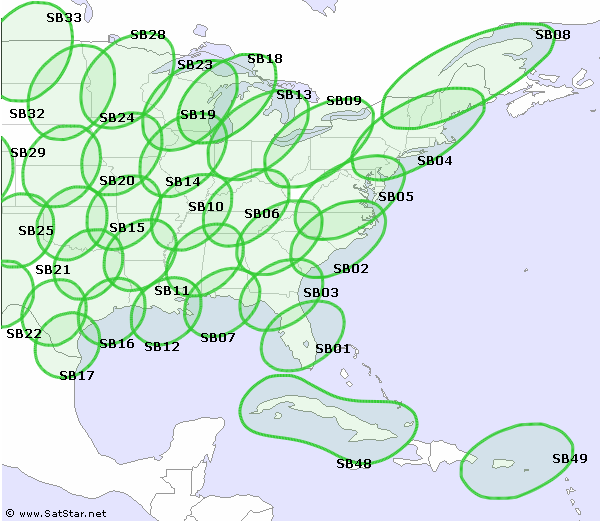
| SB01 - Southern Florida L/R | SB02 - Eastern Carolinas L/R |
 |
 |
| Ku-band | Ku-band |
| SB03 - Southern Georgia R | SB04 - Western Massachusetts L |
 |
 |
| Ku-band | Ku-band |
| SB05 - Eastern Virginia R | SB06 - Western Carolinas L |
 |
 |
| Ku-band | Ku-band |
| SB07 - Northwest Florida L | SB08 - Northern Maine R |
 |
 |
| Ku-band | Ku-band |
| SB09 - Northwest Pennsylvania R | SB10 - South Central Kentucky L/R |
 |
 |
| Ku-band | Ku-band |
| SB11 - Western Alabama L/R | SB12 - Southeast Louisiana R |
 |
 |
| Ku-band | Ku-band |
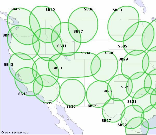
| SB13 - Southern Michigan L | SB14 - Northwest Tennessee L/R |
 |
 |
| Ku-band | Ku-band |
| SB15 - Southern Arkansas L/R | SB16 - Southeast Texas L |
 |
 |
| Ku-band | Ku-band |
| SB17 - Southern Texas R | SB18 - Lake Michigan L |
 |
 |
| Ku-band | Ku-band |
| SB19 - Central Illinois L/R | SB20 - Southwest Missouri L/R |
 |
 |
| Ku-band | Ku-band |
| SB21 - Northeast Texas L/R | SB22 - South Central Texas R |
 |
 |
| Ku-band | Ku-band |
| SB23 - Central Wisconsin L/R | SB24 - Southern Iowa L/R |
 |
 |
| Ku-band | Ku-band |
| SB25 - Oklahoma R | SB26 - North Texas L/R |
 |
 |
| Ku-band | Ku-band |
| SB27 - Western Texas L | SB28 - Central Minnesota L |
 |
 |
| Ku-band | Ku-band |
| SB29 - South Central Nebraska R | SB30 - Central Colorado L |
 |
 |
| Ku-band | Ku-band |
| SB31 - Central New Mexico R | SB32 - Eastern Dakota R |
 |
 |
| Ku-band | Ku-band |
| SB33 - Central North Dakota L | SB34 - Utah L/R |
 |
 |
| Ku-band | Ku-band |
| SB35 - Central Arizona L | SB36 - Central Montana L |
 |
 |
| Ku-band | Ku-band |
| SB37 - Southwest Montana R | SB38 - Nevada L |
 |
 |
| Ku-band | Ku-band |
| SB39 - South Central California R | SB40 - Eastern Washington L |
 |
 |
| Ku-band | Ku-band |
| SB41 - Western Idaho R | SB42 - Central California R |
 |
 |
| Ku-band | Ku-band |
| SB43 - Northern California L/R | SB44 - Oregon R |
 |
 |
| Ku-band | Ku-band |
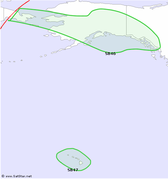
| SB45 - Northwest Washington L | SB46 - Alaska L/R |
 |
 |
| Ku-band | Ku-band |
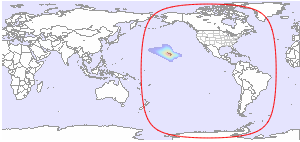
| SB47 - Hawaii L/R | SB48 - Cuba L/R |
 |
 |
| Ku-band | Ku-band |
| SB49 - Puerto Rico L/R | |
 |
|
| Ku-band | |


and TV guide data from the internet
SatStar can provide detailed technical information about commercial geostationary satellites. It can be used by professionals, e.g. for budget link calculations, and can easily be integrated into custom applications.
All data can be stored in a database, including downlink and uplink coverage maps, frequency plans, transmissions, TV/radio channels etc. For more information, please refer to the Satellite Data page.
